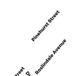
124126 ROSLINDALE AV
Owner Information
DAMICO THEODORE R
124-126 ROSLINDALE AV
ROSLINDALE, MA 02131


Property Details
124126 ROSLINDALE AV is classified as a Two-Family Residential (Conventional).
The primary structure on this property was built in 1915. There is 2,782ft2 of residential/living space within this property. This property is listed as having 14 rooms.
124126 ROSLINDALE AV is valued at $684,900. The land is valued at $173,100 and the structures are valued at $511,800.
The most recent deed for 124126 ROSLINDALE AV is recorded at the local registrar in Book 59668, Page 115. 124126 ROSLINDALE AV was last sold on Friday, June 1, 2018 for $765,000.
Assessment data from fiscal year 2020.
Flood Data
According to the FEMA National Flood Hazard Layer, this property does not appear to be in a flood zone. It may also be in an area not yet reviewed. Nonetheless, confirm this information prior to taking any action.
To view the flood hazards around this property, create a FEMA "Firmette" Map of the area around 124126 ROSLINDALE AV.
Broadband Internet Providers
| Provider | Type | Bandwidth (mbps) | |
|---|---|---|---|
| RCN | Cable | 500 | 20 |
| Verizon New England Inc. | Fiber | 940 | 880 |
| Viasat Inc | Satellite | 100 | 3 |
| Crown Castle Fiber | Fiber | 0 | 0 |
| VSAT Systems, LLC. | Satellite | 2 | 1 |
| HughesNet | Satellite | 25 | 3 |
| GCI Communication Corp. | Satellite | 0 | 0 |
| RCN | Cable | 1000 | 20 |
| Comcast | Cable | 1000 | 35 |
Broadband service provider data from December 2020.
Adjacent Properties
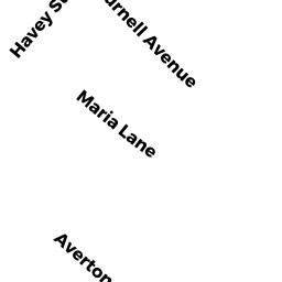
- 154 DURNELL AV
Two-Family Residential owned by GIRTON MOLLY KIRAN - 122 ROSLINDALE AV
Single Family Residential owned by FELIX MARIE N - 162 DURNELL AV
Single Family Residential owned by BARROSO CHRISTOBAL P MENDEZ - 158 DURNELL AV
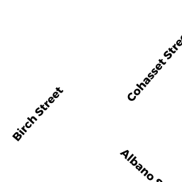
Single Family Residential owned by WOODS LINDA C - 153 BIRCH ST
Single Family Residential owned by KELLEY RICHARD SCOTT - 149 BIRCH ST
Single Family Residential owned by KALT SUSAN E